The Little Ouse Path
... from Brandon to Lakenheath
After a gloriously hot summer's day on Friday it was cooler and cloudy on Saturday so we decided it was good weather for a walk. One of our favourite areas to walk is along the Little Ouse on the Norfolk-Suffolk border on the edge of Breckland. We studied the map and decided to start at Brandon and walk along the riverside footpath to Lakenheath railway station ... on Saturday afternoon there is a train that would take us back to Brandon station ... just the one train, but we would have about two and a half hours to walk about four and half miles so what could go wrong?

The Little Ouse just west of Brandon opposite a 'lode' where goods used to be loaded.
4.5 miles in theory! we walked 6 miles
Weather: 18˚C, overcast with light rain showers
Starting from Brandon stone car park, ending at Lakenheath station.

It was raining when we parked or car in Brandon station car park, so we ate our sandwiches while we waited for the shower to ease.
Our route started by walking along the main street into town and then taking the riverside path just before the river bridge. So far so good, the path had been newly surfaced with hoggin and shiny new gates installed.

Mooring places for boats waiting to get through Brandon Lock

An information board at Brandon Lock.

Brandon Lock
We reached Brandon Lock, at this point there's an option to cross the river and join the Hereward Way long distance footpath. Our route wasn't obvious at first, then we spotted a 'Little Ouse Path' marker and arrow continuing along a narrow path between overhanging willow trees.
Alder carr
The path was still narrow between wire fencing but the view to the right opened up across an area of Alder carr - waterlogged fen. In front of us along the path were a group of schoolgirls studying a laminated map, they were doing their Duke of Edinburgh Award challenge and faced with a narrowing path overgrown with Stinging Nettles they were worried they had take a wrong turn. Cliff checked their map and they were doing the same route as us until the end when they would turn off to a small village, we cheerily offered to go first and bash down the Nettles for them.
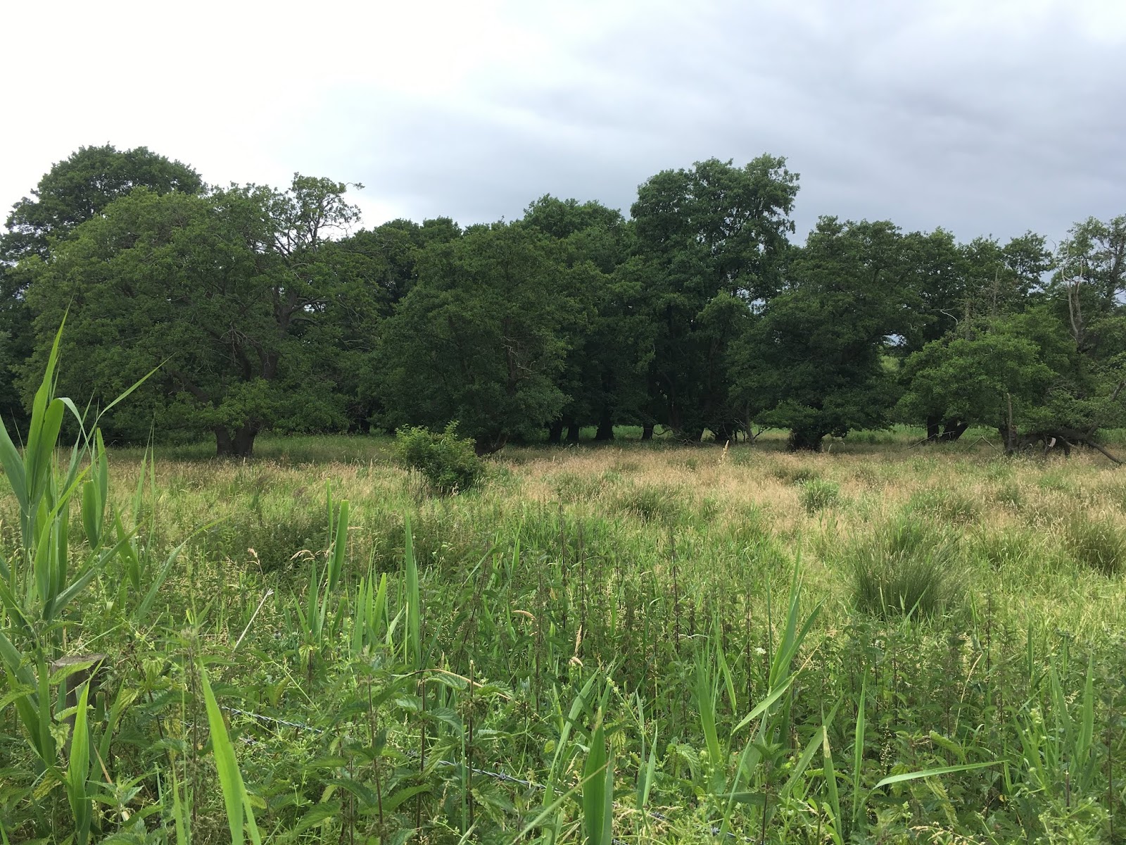
We soon reached a gate into open fen-grazing land, a herd of cows and calves were in the distance and ignored us.

Fen grazing land
The path wasn't an obvious track, but so long as we kept the river on our left we'd be fine.

Old baths repurposed as drinking troughs for the cattle
Ahead of us was the railway line crossing the river, a track dipping down under it ... in wet weather this would be a mud bath! but luckily for us it was relatively dry.

The railway bridge
On the other side of the railway line the river-side meadows continued, the path was hardly discernible so we strode on, our legs wet up to the knees. As we pushed through the grasses and sedges we disturbed clouds of Banded Demoiselle Damselflies and Ringlet and Meadow Brown Butterflies.

Riverside meadows
The river was still on our left, a haunt of Otters ... though we've never been lucky enough to see one.
A huge Crack Willow on the far bank looks as if it's been cut back after falling across the river ... that looks like a good spot for Otters. But there was no time to sit and watch, it was starting to rain again and we had a train to catch.

Looking at the map we were approaching a side channel at 'Sheep Dip Staunch' and would cross it by a footbridge ... but all we could see was a thicket of trees, brambles and nettles! In the middle of all that was no sign of the staunch or a bridge, just a barbed wire fence.

We could turn back or try to get around the thicket and cross the fence ... this terrain is easier if you are 6ft 3.

The vegetation got taller, I wished I had a machete.

Eventually we found place where other walkers had pressed the wired down and managed to get over the fence and into the next field. At this point we looked back and spotted the school girls making their way towards the impassable thicket ... I waved and tried to whistle but the didn't see us. I wonder if they turned back or managed to work out a way around?

Toadflax flowers on the drier fields
The next field was drier and covered with a beautiful mix of wildflowers, but no time to waste looking at flowers as we had to get the train.
A wide grassy track lead to a mooring area for boats, this was easy walking at last. On out right were fishing lakes, we checked the map and there were farm tracks which by-passed the over-grown riverside path so we decided to stride out quickly and take a detour.

Fishing lakes
A shrill whistle and shout came form a large man on a far side of a paddock to our right ... was he helpfully showing us the way? No. We were told to go back as 'This is private property', he made no comment when I said we wanted to avoid another overgrown stretch of riverside footpath. 'Go back to the footpath' he said.
That went well then.
We returned to the riverside, the vegetation was thicker and taller than ever. There was another barbed wire fence, crossable if you have long legs ... I had to throw my backpack over and crawl through between the wire, ripping my trousers in the process.

We could just see the river was still to our left but it was looking less likely that we'd get to the station in time to catch the train.
Plan B was for Cliff to go ahead and get the train and drive back to pick me up at Lakenheath station. So off he went disappearing down a long wooded track and me following on behind. I was just checking the map to see which would be the better route ... rejoining the riverside path or taking a lane leading to the main road ... when Cliff appeared. There was no chance he'd get the train so we walked together to the main road and along the side of it to the station.

The main road crossed the Lakenheath Lode

and the Little Ouse
Eventually we reached Lakenheath railway station ... it's in the middle of nowhere, miles from the village and the Air Base.

There were no more trains due so Plan C was to ring for a taxi. No tea shops within sight for a cuppa while we waited.

So, back to the car and then the drive home.
Over the years (27 walking together) we've explored hundreds of miles of footpaths, yes there were times when a gateway was overgrown with brambles or a field so muddy we had to find a short detour of walk around the other side of hedge to bypass it BUT this was the the worst case of mile after mile of near impenetrable vegetation with no alternative but to struggle through.

First wearing of my expensive new summer hiking shoes and nice new socks
wet through but no harm done!
Lessons learned ...
Have a Plan B ... and C
Don't underestimate Fens
It's not only hill country that can be challenging ... this walk was mainly at 3ft above sea-level rising briefly to 10ft (on the main road bridges crossing the big rivers) yet it was tough walking!
Would I recommend this route? Maybe to Brandon Lock, or the riverside meadows, then retrace your steps back the same way and go for a cuppa at a tea-shop in Brandon.
Back soon with a hopefully easier walking route and another behind the scenes look at my illustrations for The Almanac.
My goodness that was an exciting (and exhausting) adventure - good thing you and Cliff are hardy walkers !
ReplyDeleteCrikey! I think I'd have flagged by about half way! Shame about Mr Grumpy.
ReplyDelete